California, Camping Journal, Family Vacation Journal, Hiking Journal, National Park Journal, Road Trip Journal, United States
11 Best Hikes in Sequoia & Kings Canyon National Parks
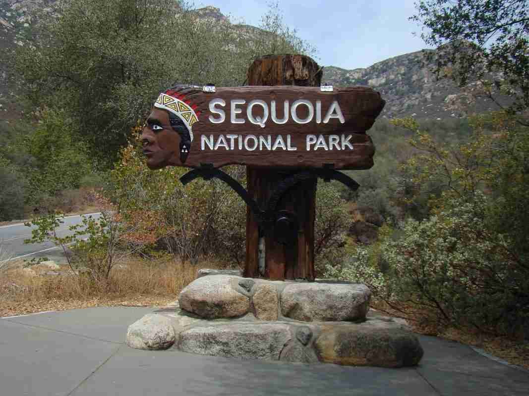
Sequoia National Park and Kings Canyon, located in the southern Sierra Nevada region of California, are two of the most breathtaking national parks in the United States. Home to towering mountains, cascading waterfalls, and ancient forests filled with giant sequoias, these parks offer some of the best hiking trails in the world. From easy nature walks to strenuous backcountry treks, the parks offer something for everyone, making them a must-visit destination for outdoor enthusiasts.
One of the best ways to experience the beauty of Sequoia National Park and Kings Canyon is by exploring the parks on foot. With so many trails to choose from, it can be overwhelming to decide where to start. To help narrow down the options, we have compiled a list of the 11 best hikes in the parks, each with its own unique features and stunning views.
The Lakes Trail
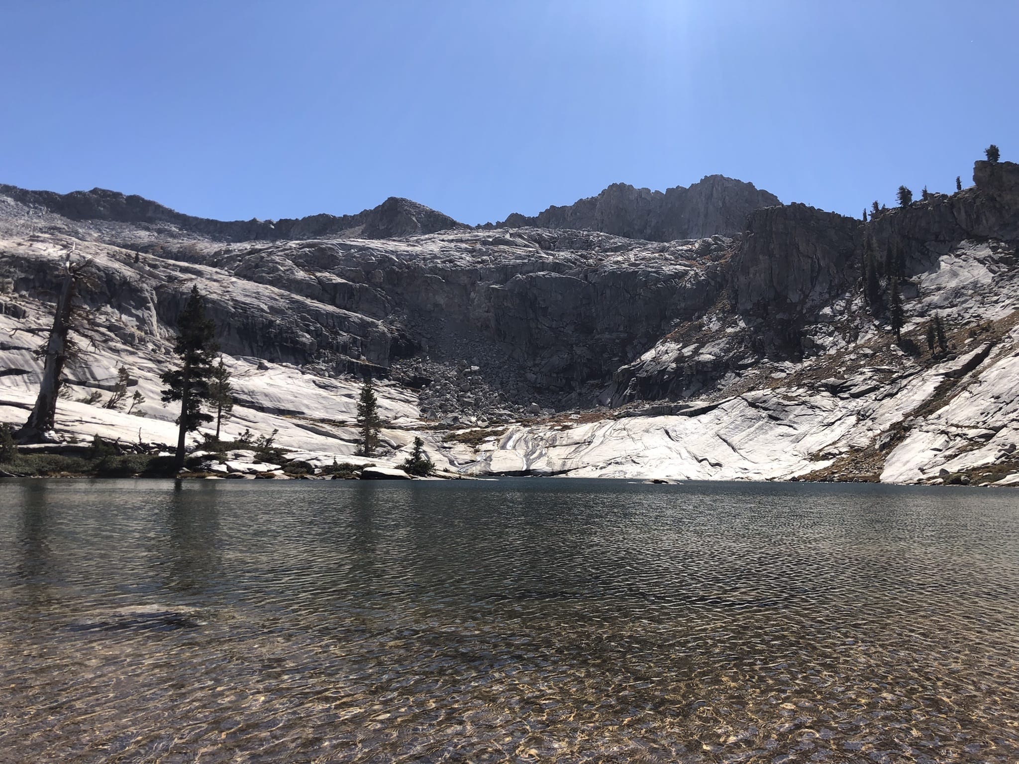
The Lakes Trail is a popular 12.4-mile hiking trail in Sequoia National Park and Kings Canyon. It is known for its stunning views of the High Sierra and beautiful alpine lakes. The trail is rated as moderate in difficulty and can be completed in one day by experienced hikers or over two days for those who prefer a more leisurely pace.
The trailhead is located at the Wolverton parking lot, which can be reached by car or shuttle. The trail begins with a steady uphill climb through the forest, but hikers are rewarded with beautiful views of the surrounding mountains and valleys. As the trail continues, it passes by Heather Lake, a serene alpine lake surrounded by lush vegetation.
The next lake on the trail is Aster Lake, which is a bit larger and offers even more stunning views of the High Sierra. The trail then climbs up to Emerald Lake, which is known for its crystal-clear water and its beautiful reflections of the surrounding mountains. The trail then continues to Pear Lake, the final and largest lake on the trail. Pear Lake is a popular spot for camping and fishing, and it offers breathtaking views of the surrounding mountains and valleys.
The Lakes Trail is an excellent choice for hikers who want to experience the beauty of the High Sierra and the tranquility of alpine lakes. The trail is well-maintained and well-marked, making it easy for hikers of all levels to enjoy. While the trail can be completed in one day, hikers who choose to camp at Pear Lake can enjoy the beautiful sunset and sunrise views over the lake. It is important to note that the trail is located at a high altitude, so hikers should be prepared for the effects of altitude sickness.
Mount Whitney

Mount Whitney is the highest peak in the contiguous United States, standing at an elevation of 14,505 feet (4,421 meters). It is located on the eastern edge of Sequoia National Park and Kings Canyon in the Sierra Nevada mountain range. The summit is a challenging 22-mile hike that offers incredible views of the surrounding mountains and valleys.
The hike to the summit of Mount Whitney is rated as strenuous and requires a high level of physical fitness and endurance. The trail begins at Whitney Portal, which is located at an elevation of 8,360 feet (2,548 meters). The trail then climbs up steep switchbacks to the high alpine zone, passing by beautiful lakes and meadows along the way. The final ascent to the summit is a steep climb up the east face of the mountain, which requires scrambling and careful footing.
Hikers who reach the summit of Mount Whitney are rewarded with breathtaking views of the Sierra Nevada, including the Kaweah Range, Mount Langley, and the Owens Valley. On clear days, hikers can see as far as the White Mountains and the Inyo Mountains. The summit also offers a glimpse of the rugged beauty of Sequoia National Park and Kings Canyon from a bird’s eye view.
Hiking to the summit of Mount Whitney is a once-in-a-lifetime experience for many hikers. It requires careful planning and preparation, as well as a permit that must be obtained in advance due to the high demand. Hikers should also be prepared for the effects of altitude sickness, which can occur at high elevations.
Tokopah Falls Trail

The Tokopah Falls Trail is a moderate 3.4-mile round-trip hike that leads to the stunning Tokopah Falls in Sequoia National Park and Kings Canyon. The trailhead is located at the Lodgepole Campground and can be easily accessed by car or shuttle. The trail is well-maintained and suitable for hikers of all levels.
The trail begins with a gradual uphill climb through a forest of giant sequoia trees. Along the way, hikers can enjoy beautiful views of the surrounding mountains and valleys. As the trail continues, it crosses the Marble Fork of the Kaweah River and passes by a series of cascading rapids and pools.
The highlight of the hike is, of course, the beautiful Tokopah Falls, which can be seen from a viewing platform at the end of the trail. The falls are 1,200 feet high and offer a spectacular display of cascading water. Visitors can enjoy the misty spray and the sound of rushing water while taking in the stunning views.
The Tokopah Falls Trail is a great option for hikers who want to experience the beauty of Sequoia National Park and Kings Canyon without taking on a strenuous hike. It is a popular trail, so hikers should be prepared for crowds during peak season. However, the views of the falls are well worth the crowds.
It is important to note that the trail can be icy and slippery during the winter months, so hikers should use caution and wear appropriate footwear. Additionally, the trail crosses the Marble Fork of the Kaweah River, which can be dangerous during periods of high water. Hikers should check with park rangers before attempting the hike during these conditions.
Moro Rock Trail
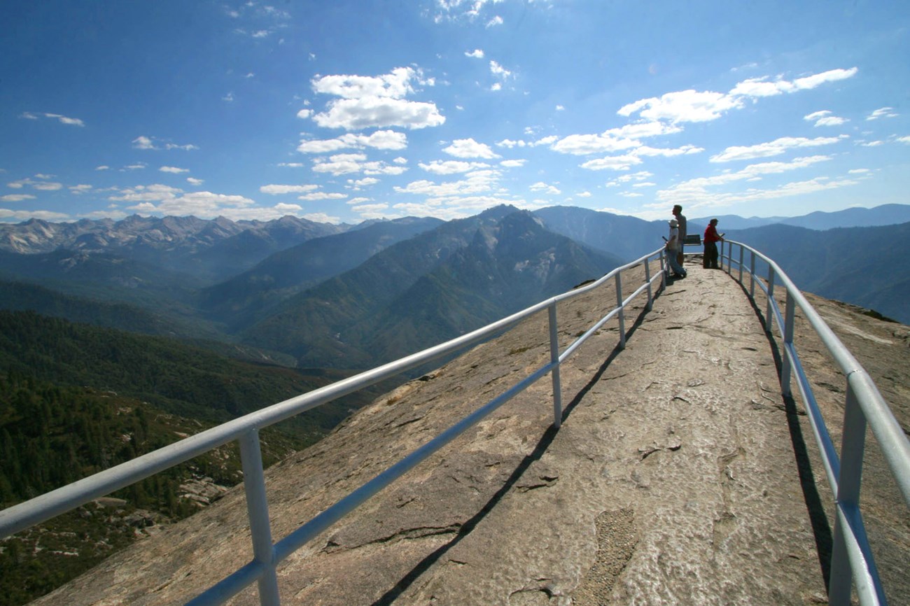
The Moro Rock Trail is a short but strenuous 0.6-mile hike that leads to the top of Moro Rock, offering breathtaking views of the park. The trailhead is located in the Giant Forest area of Sequoia National Park and is easily accessible by car or shuttle.
The trail begins with a steep climb up a series of switchbacks, which can be challenging for some hikers. However, the views along the way are well worth the effort. As hikers ascend the rock, they are treated to stunning views of the surrounding mountains and valleys, including the Great Western Divide, the Kaweah River, and the Sierra Nevada.
Once hikers reach the top of Moro Rock, they are rewarded with a panoramic view of the park. The summit offers a 360-degree view of the surrounding landscape, including the giant sequoias and the High Sierra. Visitors can take in the beauty of the park from a unique perspective, with views stretching as far as the eye can see.
While the hike is short, it can be strenuous, particularly for hikers who are not used to high altitudes. The trail is also narrow and can be crowded during peak season, so hikers should use caution and be prepared for crowds. Additionally, the trail can be icy and slippery during the winter months, so hikers should wear appropriate footwear and use caution.
Congress Trail
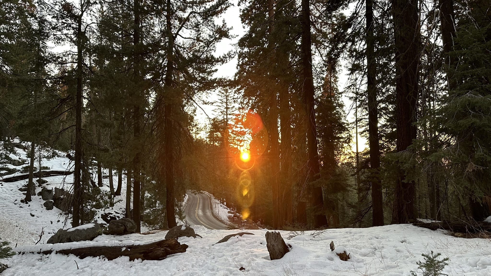
The Congress Trail is a 2.5-mile loop trail that takes hikers through some of the most beautiful sequoia groves in Sequoia National Park and Kings Canyon. The trail is named after the Congress of the United States, which established the park in 1890. It is a relatively easy hike and is suitable for hikers of all levels.
The highlight of the Congress Trail is the General Sherman Tree, the largest tree in the world. The tree stands at over 275 feet tall and has a circumference of over 100 feet at its base. It is estimated to be over 2,000 years old and is a true wonder of nature. Visitors can stand in awe of this magnificent tree and appreciate its incredible size and beauty.
In addition to the General Sherman Tree, the Congress Trail takes hikers through other beautiful sequoia groves, including the President Tree, the Senate Group, and the House Group. Each grove has its unique characteristics, and visitors can appreciate the beauty of these ancient trees up close.
The Congress Trail is a popular destination for visitors to the park, and as such, can be crowded during peak season. However, the trail is well-maintained, and the views of the sequoias are well worth the crowds. Hikers should be prepared for uneven terrain and changes in elevation along the trail.
Overall, the Congress Trail is a must-do for anyone visiting Sequoia National Park and Kings Canyon. The trail offers a unique opportunity to experience the beauty of the giant sequoias up close, including the incredible General Sherman Tree, the largest tree in the world. It is a great option for hikers of all levels and is a perfect way to spend a day in the park.
Rae Lakes Loop
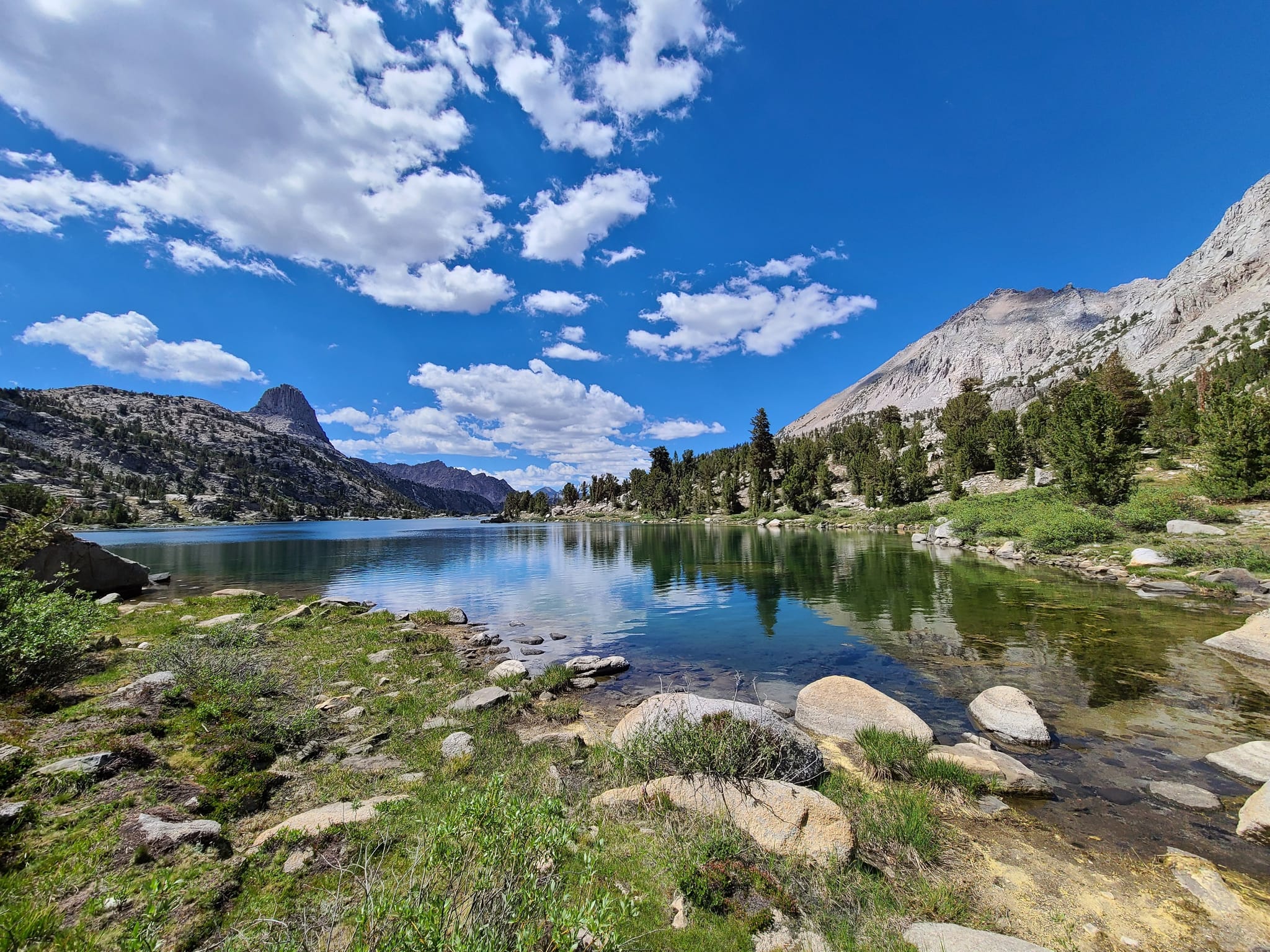
The Rae Lakes Loop is a 41-mile hike that takes hikers through some of the most beautiful scenery in Sequoia National Park and Kings Canyon. The trail is a challenging but rewarding experience, offering stunning views of the High Sierra and the opportunity to see some of the park’s most iconic landmarks.
The highlight of the Rae Lakes Loop is the Rae Lakes themselves, a series of stunning alpine lakes that offer breathtaking views and great opportunities for fishing and swimming. The trail also passes by other notable landmarks, including Glen Pass, Dollar Lake, and Woods Creek. Hikers can take in the beauty of the Sierra Nevada as they traverse the trail, with views stretching as far as the eye can see.
While the Rae Lakes Loop is a challenging hike, it is well worth the effort for those who are up to the task. The trail is well-maintained but can be steep and rocky in places, and hikers should be prepared for changes in elevation and weather conditions. The trail can also be crowded during peak season, so hikers should be prepared for potential crowds and should plan accordingly.
The Rae Lakes Loop is a great option for hikers who are looking for a multi-day hiking experience and who want to experience the beauty of the High Sierra up close. The trail offers a unique opportunity to explore some of the most beautiful scenery in the park and to see some of the park’s most iconic landmarks. Whether you are an experienced hiker or a beginner, the Rae Lakes Loop is a must-do for anyone visiting Sequoia National Park and Kings Canyon.
Mist Falls Trail
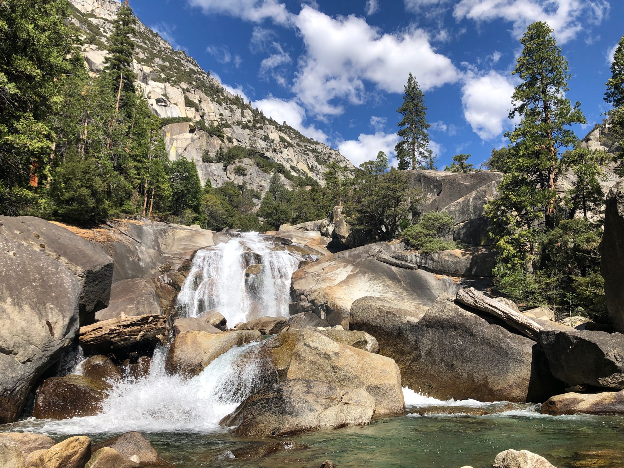
The Mist Falls Trail is a popular 8.4-mile hike that takes hikers through some of the most beautiful scenery in Sequoia National Park and Kings Canyon. The trail is rated as moderate, making it a great option for hikers of all levels, and offers stunning views of the Kings River and beautiful waterfalls.
The highlight of the Mist Falls Trail is, of course, Mist Falls itself. This beautiful waterfall is located approximately four miles into the hike and is a must-see for anyone visiting the park. The falls are surrounded by lush vegetation and offer a refreshing mist that cools hikers down on hot summer days.
In addition to Mist Falls, the trail takes hikers through beautiful forests and offers stunning views of the Kings River. The trail is well-maintained and offers a great opportunity to experience the beauty of the Sierra Nevada up close.
While the Mist Falls Trail is rated as moderate, hikers should be prepared for changes in elevation and changes in weather conditions. The trail can be hot and dusty during the summer months, so hikers should bring plenty of water and sun protection. The trail can also be crowded during peak season, so hikers should plan accordingly.
Zumwalt Meadow Trail

The Zumwalt Meadow Trail is a scenic 1.5-mile loop trail that takes hikers through a beautiful meadow and along the Kings River. This is an easy hike that is suitable for hikers of all levels and offers stunning views of the Sierra Nevada.
The highlight of the Zumwalt Meadow Trail is, of course, the meadow itself. This beautiful meadow is surrounded by granite walls and offers stunning views of the surrounding mountains. The meadow is home to a variety of wildlife, including deer, coyotes, and black bears, making it a great spot for nature lovers.
In addition to the meadow, the trail offers views of the Kings River, a beautiful river that flows through the park. Hikers can take in the beauty of the river as they traverse the trail, with views stretching as far as the eye can see.
The trail is well-maintained and offers several boardwalks that make it easy to traverse the meadow. The trail is also wheelchair accessible, making it a great option for hikers with mobility issues.
While the Zumwalt Meadow Trail is an easy hike, hikers should still be prepared for changes in weather conditions. The trail can be hot and dusty during the summer months, so hikers should bring plenty of water and sun protection. The trail can also be crowded during peak season, so hikers should plan accordingly.
Overall, the Zumwalt Meadow Trail is a great option for hikers who are looking for a scenic and easy hike that offers stunning views of the Sierra Nevada and the Kings River. The trail is well-maintained and offers a great opportunity to experience the beauty of the park up close. Whether you are an experienced hiker or a beginner, the Zumwalt Meadow Trail is a must-do for anyone visiting Sequoia National Park and Kings Canyon.
High Sierra Trail

The High Sierra Trail is a 71-mile trail that takes you through some of the most stunning scenery in Sequoia National Park and Kings Canyon. It starts in Crescent Meadow and ends at Whitney Portal, passing through some of the most beautiful wilderness areas in the Sierra Nevada. This trail is not for beginners, but for experienced hikers, it is a once-in-a-lifetime adventure.
The trail is typically done in five to seven days, depending on your pace and how many side trips you want to take. Along the way, you will pass through stunning alpine meadows, cross crystal-clear streams and rivers, and climb over mountain passes that offer breathtaking views of the Sierra Nevada.
One of the highlights of the High Sierra Trail is the Kaweah River, which you will cross on a suspension bridge. The bridge is over 100 feet long and offers stunning views of the river and surrounding canyon. The trail then ascends to the Bearpaw Meadow area, which is one of the most beautiful areas of the park. Here you can explore the meadows, swim in the crystal-clear streams, and relax in the peaceful surroundings.
As you continue on the trail, you will come to the Hamilton Lakes, which offer stunning views of the surrounding mountains. The trail then ascends to the highest point on the trail, the top of Kaweah Gap. From here, you can see the Great Western Divide, the highest peaks in the park, and the Kern River Canyon far below.
After crossing the gap, the trail descends into the Kern River Canyon, where you will pass through stunning rock formations and cross the river several times. The trail then climbs up to the base of Mount Whitney, where you will camp before ascending to the summit.
The High Sierra Trail is a challenging and rewarding hike that offers stunning scenery and a true wilderness adventure. It is a once-in-a-lifetime experience that should be on every hiker’s bucket list. The trail is well-maintained, but hikers should be prepared for changes in weather conditions and have experience with backcountry camping. If you are an experienced hiker looking for a true wilderness adventure, then the High Sierra Trail is the perfect trail for you.
Copper Creek Trail

The Copper Creek Trail is a challenging 11-mile hike that offers breathtaking views of Sequoia National Park and Kings Canyon. The trail begins at Cedar Grove, a popular starting point for many hikes in the park, and leads to the beautiful Granite Basin.
The trail is steep and rocky, with an elevation gain of over 4,000 feet. It starts off with a gradual ascent through a beautiful forest of Jeffrey pines and white fir trees. As you climb higher, the views become more spectacular, with stunning vistas of the Kings Canyon and surrounding mountains.
About halfway through the hike, you will reach a viewpoint known as Lookout Point. This is a great place to take a break and enjoy the incredible views of the park. From here, you can see the winding South Fork of the Kings River, as well as the rugged peaks of the Sierra Nevada.
As you continue on the trail, you will pass through beautiful alpine meadows and cross crystal-clear streams. The trail becomes steeper and rockier as you approach Granite Basin, but the views are well worth the effort. The basin is a beautiful bowl-shaped valley surrounded by towering granite cliffs.
In the basin, you can explore the many small streams and waterfalls that cascade down the cliffs. There are also several backcountry campsites in the area, making it a great place to spend the night and take in the peaceful surroundings.
The Copper Creek Trail is a challenging hike that is not for beginners. Hikers should be prepared for changes in weather conditions and have experience with backcountry camping. However, for experienced hikers, the trail offers a true wilderness adventure with some of the most spectacular views in the park.
Overall, the Copper Creek Trail is a must-do hike for anyone visiting Sequoia National Park and Kings Canyon. It offers a true wilderness experience and breathtaking views that will stay with you for a lifetime.
Redwood Canyon Trail
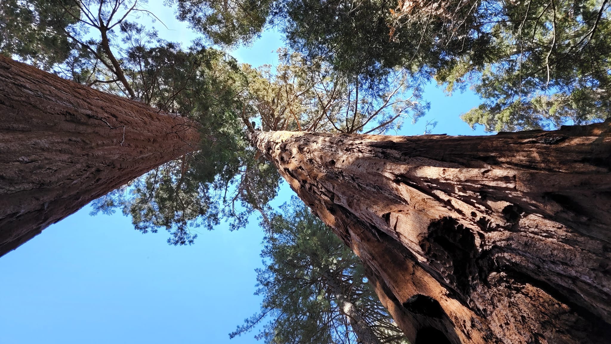
The Redwood Canyon Trail is a moderate 9.5-mile hike that takes you through a stunning sequoia grove and along the banks of the Middle Fork of the Kaweah River. The trailhead is located in the Redwood Canyon parking area, which is accessible from the Generals Highway in Sequoia National Park. The hike is popular among visitors to the park, offering a peaceful and tranquil escape into the heart of the sequoia forest.
The trail starts off on a gentle incline through the Redwood Canyon, where you will be surrounded by towering sequoias on both sides. These massive trees, which can grow up to 300 feet tall and have a circumference of over 100 feet, are among the largest living organisms on earth. As you make your way deeper into the canyon, the trail begins to climb gradually towards the Alta Trail junction, where you will encounter stunning views of the surrounding mountains and valleys.
From the junction, the trail continues to climb, following the Middle Fork of the Kaweah River upstream. The river flows gently through the canyon, providing a peaceful and soothing soundtrack to your hike. You will cross several small streams and bridges along the way, adding to the scenic beauty of the trail.
As you approach the end of the trail, you will reach the impressive Redwood Creek Falls, a picturesque waterfall that cascades over a granite rock face into a small pool below. This is a popular spot for hikers to take a break and enjoy the scenery before heading back down the trail.
Overall, the Redwood Canyon Trail is a moderate hike that offers stunning views of the sequoia forest and the surrounding mountains, as well as the calming sounds of the river and the waterfall. It is a great option for hikers of all levels, as it is not too difficult but still provides a good workout. Be sure to bring plenty of water and snacks, as well as a camera to capture the beauty of the forest and the waterfall. And don’t forget to respect the natural environment and leave no trace behind.
Sequoia National Park and Kings Canyon are located in California’s Sierra Nevada mountain range and are accessible by a variety of transportation methods. Here are some different ways to get to these national parks:
- Car: The most common way to get to Sequoia National Park and Kings Canyon is by car. From the north or south, you can take Highway 99 and then Highway 198 to reach the park entrance. If you’re coming from the west, take Highway 180.
- Bus: There are several bus companies that offer transportation to Sequoia National Park and Kings Canyon. Some companies offer day trips from nearby cities, while others offer multi-day tours. Check with the park’s website or a local visitor center for recommendations.
- Plane: The closest airport to Sequoia National Park and Kings Canyon is Fresno Yosemite International Airport, which is about 90 miles away. From there, you can rent a car or take a shuttle to the park.
- Train: The nearest train station to Sequoia National Park and Kings Canyon is in Fresno, which is about 90 miles away. From there, you can rent a car or take a shuttle to the park.
- Shuttle: During peak season, there are shuttle buses that run through the park, offering transportation to various trailheads and points of interest. Check the park’s website for shuttle schedules and routes.
- Bicycle: If you’re up for a challenge, you can cycle to Sequoia National Park and Kings Canyon. There are several scenic routes that will take you through the mountains, although they can be steep and challenging.
No matter how you choose to get there, be sure to plan ahead and check the park’s website for any road closures or construction. Keep in mind that the roads in the park can be narrow and winding, so drive carefully and be aware of other vehicles and wildlife.

